

Twin Cities Streets Complete Street Map 2,000 Square Miles
$ 375.00
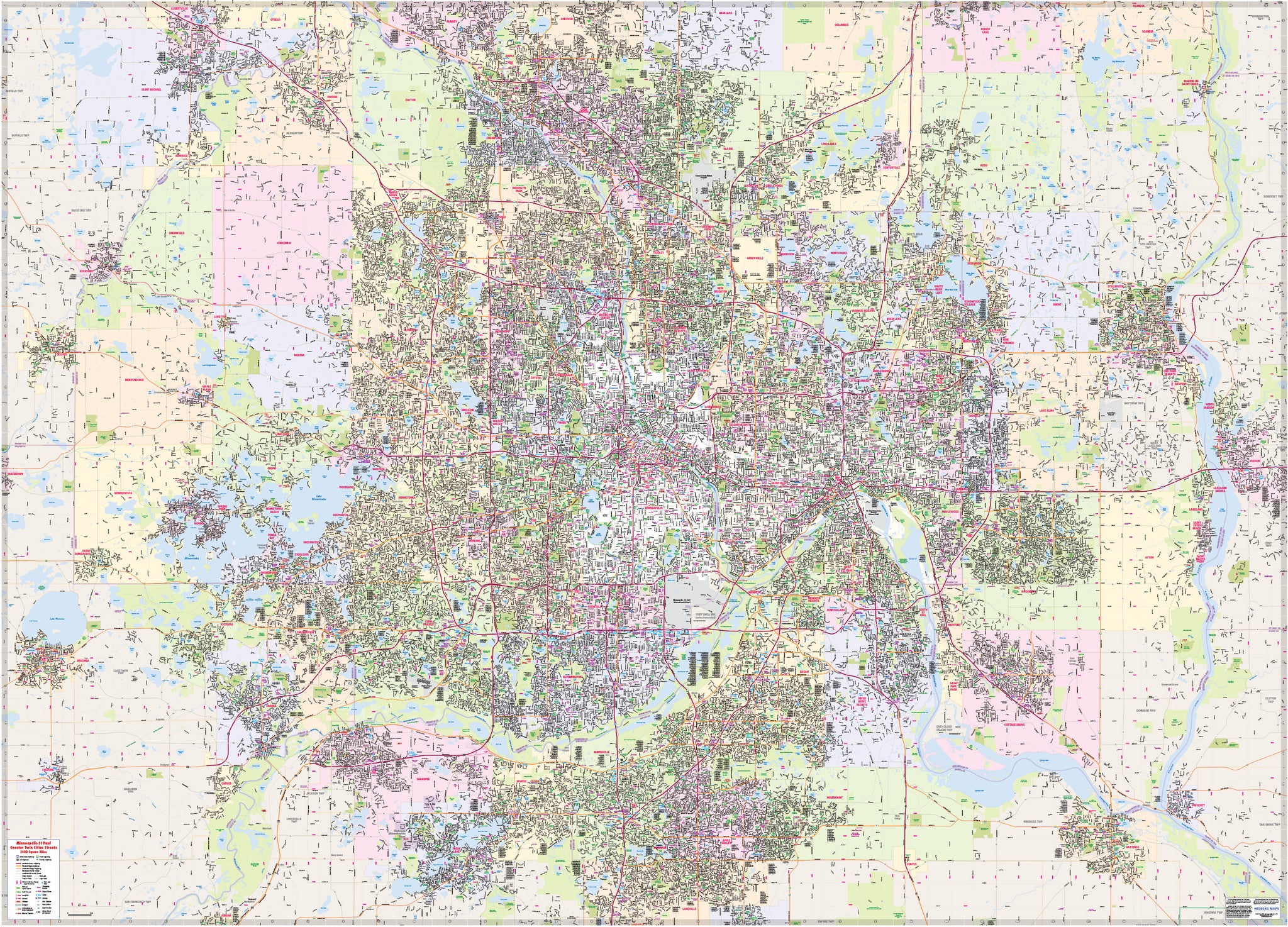
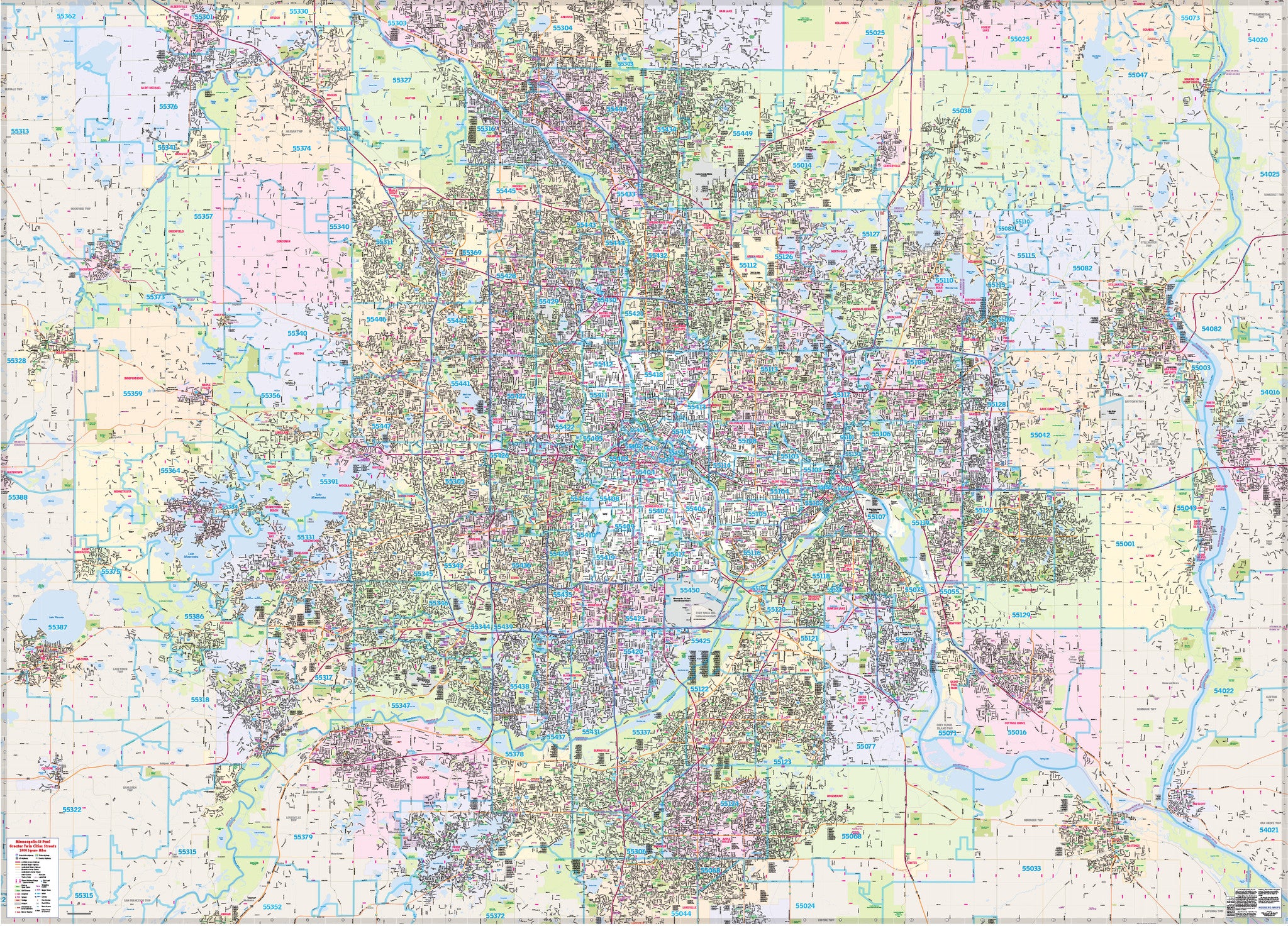
A complete street map of the Greater Twin Cities (Minneapolis-St Paul Metro) covering 2,000 square miles. The area of coverage extends northwest to St Michael and southeast to Hastings. The map is loaded with points of interest such as major attractions, schools, parks, golf courses, shopping, and more. ZIP code layer is optional - be careful to choose the correct version on the pull-down menu.
Laminated wall maps are shipped rolled in a tube. Order map rails for easy hanging.
Format: Laminated Wall Map
Year Published: 2015
Size: 80"w x 57.5"h


